The open water resources in Suriname can be divided into two major groups as follows:
Rivers
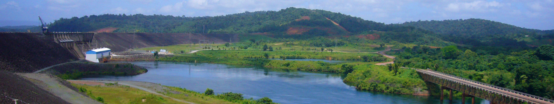
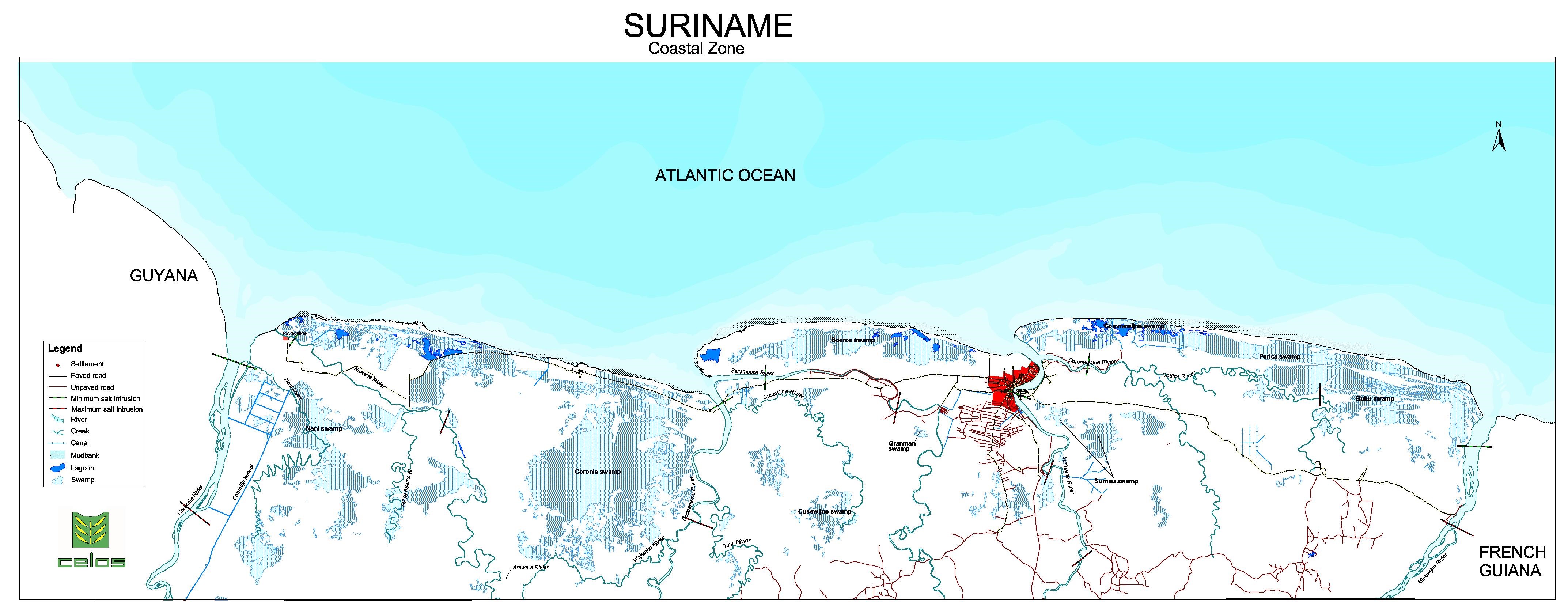
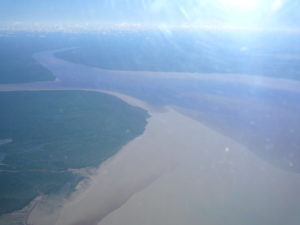
Suriname has seven major streams draining toward the Atlantic Ocean (see Table 1). The largest are the Marowijne and Corantijn rivers that form the country’s borders, respectively, in the east and the west. These two rivers flow northward and drain almost 58% of the country. The Coppename and the Suriname river also flow northward and together drain about 24% of the country. The smallest rivers are the Nickerie, Saramacca, and Commewijne rivers, which drain 16% of the country. The final 2% of the country consists of coastal areas with direct drainage into the Atlantic Ocean. The Suriname rivers drain on average about 4,800 m3/s (756 mm/year) freshwater into the Atlantic ocean. The main rivers are tidal and contain brackish water in the coastal area. The map below shows the salt water borders in the main rivers and the catchment areas of the main rivers.
The following table shows hydrological characteristics of the main rivers in Suriname.
Hydrological characteristics of the main rivers in Suriname (a)
| N | Main river | Catchment Area (km²) | Average annual discharge (m³/s) | Extreme low discharge (m³/s | Extreme high annual discharge (m³/s) | Specific discharge |
|---|---|---|---|---|---|---|
| 1 | Marowijne | 68,700 | 1,780 | 100 | 15,000 | 25.9 |
| 2 | Commewijne | 6,600 | 120 | 5 | 1,200 | 18.2 |
| 3 | Suriname | 16,500 | 426 | 20 | 4,000* | 25.8 |
| 4 | Saramacca | 9,000 | 225 | 10 | 2,000 | 25.0 |
| 5 | Coppename | 21,700 | 500 | 25 | 4,200 | 23.0 |
| 6 | Nickerie | 10,100 | 178 | 10 | 1,800 | 17.6 |
| 7 | Corantijn | 67,600 | 1,570 | 100 | 15,000 | 23.2 |
*Before the construction of the dam
Hydrological characteristics of the main rivers in Suriname (1961-1970) (b)
| N | Main river | Estimated rainfall (mm) | Estimated runoff (mm) | Estimated evapotranspiration (MM) |
|---|---|---|---|---|
| 1 | Marowijne (Lange tabbetje) | 2,246 | 1,780 | 100 |
| 2 | Suriname (Pokigron) | 2,414 | 426 | 20 |
| 3 | Saramacca (Dramhoso) | 2,294 | 225 | 10 |
| 4 | Coppename (Maksita creek) | 2,349 | 500 | 25 |
| 5 | Nickerie (Stondansi) | 2,272 | 178 | 10 |
| 6 | Corantijn (Mataway) | 2,271 | 1,570 | 100 |
*Before the construction of the dam
CONTACT
SWRIS
The SWRIS was created by the Anton de Kom University of Suriname (SMNR programme) with the support of UNDP, WWF and government authorities and is a voluntary effort on the part of the partners.
SWRIS-Secretariat
Address:
Anton de Kom University of Suriname
Leysweg, POB 9212,
Paramaribo, Suriname
Department of infrastructure
Building 16, Room 56
General phone:
+597-465558 ext 2355, 2357
APP/SMS/MOB:
+597-(0)-8500283
Email:
msc-smnr@uvs.edu
We are on social media


Copyright 2018 SWRIS | All Rights Reserved
Webdesign and development by Bit Dynamics